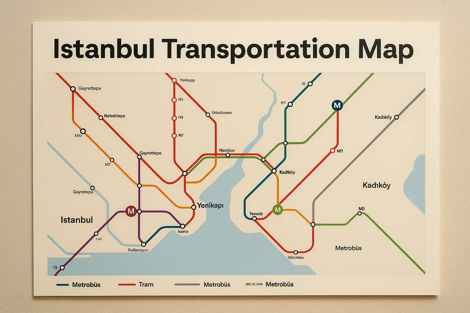
Istanbul Transportation Map & Guide for Tourists and Locals
Complete Istanbul Public Transport Guide with Map

Istanbul Transportation Map
Istanbul, a magnificent city that spans two continents, has one of the most dynamic public transportation systems in the world. Whether you're a tourist or a resident, understanding the Istanbul transportation map is essential for navigating efficiently and enjoying everything this sprawling city has to offer.
Overview of Istanbul’s Public Transport System
The Istanbul Metropolitan Municipality operates a vast and integrated transit network including metro lines, buses, trams, funiculars, ferries, and more. Over 10 million daily riders use this system to move between more than 39 districts on both the European and Asian sides.
Key Modes of Transport in Istanbul
Metro System
Istanbul’s metro is clean, modern, and constantly expanding. Major lines include:
| Line | Route | Notes |
|---|---|---|
| M1A | Yenikapı – Atatürk Airport | Connects central Istanbul to the old airport |
| M2 | Yenikapı – Hacıosman | Serves Taksim, Şişli, and other hubs |
| M4 | Kadıköy – Sabiha Gökçen Airport | Primary line on the Asian side |
| M5 | Üsküdar – Çekmeköy | Driverless metro |
| M7 | Mahmutbey – Mecidiyeköy | Connects new residential areas |
| M11 | Gayrettepe – Istanbul Airport | Airport access line, partially open |
🔗 Official Metro Map: Metro İstanbul – Network Map
Tram Lines
T1: Kabataş – Bağcılar: Popular for sightseeing (Sultanahmet, Grand Bazaar)
T3: Kadıköy – Moda: Vintage nostalgic tram
T4: Topkapı – Mescid-i Selam: Serves densely populated areas
T5: Eminönü – Alibeyköy: Scenic Golden Horn line
Ferries
Istanbul's ferry system provides stunning views of the Bosphorus and a unique commuting experience.
Major piers: Eminönü, Karaköy, Kadıköy, Üsküdar, Beşiktaş
Ferries run between Europe and Asia regularly, especially during peak hours
🔗 Timetables and Routes: Şehir Hatları Ferries
Buses and Metrobus
IETT runs over 700 routes covering the entire city.
Metrobus operates on a separate bus-only lane from Beylikdüzü to Söğütlüçeşme.
24-hour operations on some lines
Funiculars and Cable Cars
F1: Taksim – Kabataş
Tünel (F2): Karaköy – Beyoğlu (One of the oldest in the world)
TF1/TF2: Cable car lines over hills and parks
Using the Istanbulkart
The Istanbulkart is a universal contactless travel card usable across all transit modes.
Purchase from kiosks, metro stations, and convenience stores
Recharge via machines or mobile apps
Offers discounted transfers
🔗 Learn More About Istanbulkart
Istanbul Transportation Map Resources
Official Maps (PDF & Online Tools)
Metro İstanbul Map (PDF)
Google Maps Public Transport View
Recommended Apps
Metro İstanbul: Real-time schedules and updates
Trafi: Best for route planning and service alerts
Moovit: User-friendly interface with live directions
Travel Tips for First-Time Visitors
Avoid peak times: 07:00–09:00 and 17:00–19:00.
Download maps and apps before arrival.
Be alert during transfers, especially in large hubs.
Respect public transport etiquette—give up priority seats.
Tourist Routes and Points of Interest
| Location | Recommended Line | Notes |
|---|---|---|
| Sultanahmet | T1 Tram | Blue Mosque, Hagia Sophia |
| Taksim Square | M2 Metro | Central for nightlife |
| Kadıköy | Ferry or M4 Metro | Hip cafes, markets |
| Grand Bazaar | T1 Tram | Shopping paradise |
Accessibility in Istanbul Transport
Elevators, escalators, and accessible paths in most metro stations
Buses with low-floor boarding and special seats
Tactile walkways for the visually impaired
Night Travel and 24/7 Services
Select Metrobus lines and ferry routes run until late or 24/7
Night buses marked with HAT numbers
Fare System and Cost Structure
| Transport Type | Full Fare | Istanbulkart Fare |
|---|---|---|
| Metro/Tram/Ferry | ₺15-20 | ₺10-13 |
| Bus | ₺15 | ₺10 |
| Transfers | ₺7-10 | Lower with Istanbulkart |
Public Transport Etiquette
Offer seats to elderly or pregnant riders
Use headphones when playing media
Don’t block doors or stand in the aisles unnecessarily
Future of Istanbul Transportation
Projects underway include:
New metro extensions (Bakırköy–Kirazlı, Mahmutbey–Bahçeşehir)
Fully integrated mobile ticketing systems
Expansion of green electric vehicle fleets
Have Question Or Suggestion ?
Please Share Your Thought, To Make It Real


