Istanbul Transportation Map & Guide for Tourists and Locals
Complete Istanbul Public Transport Guide with Map
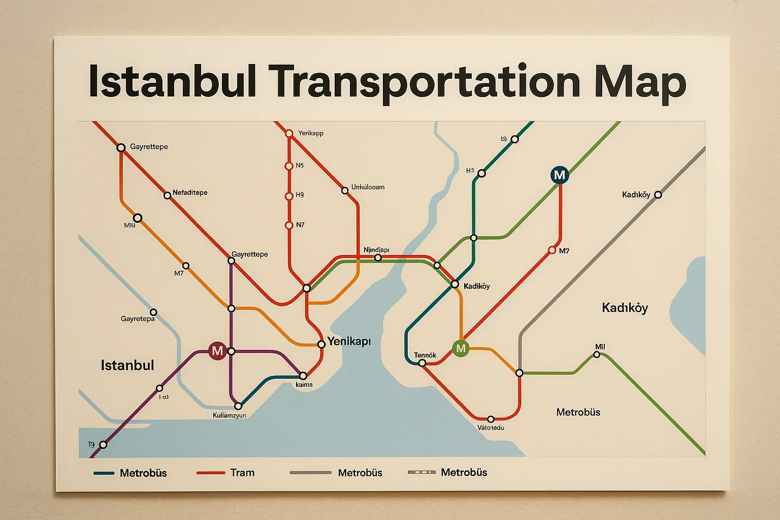
Istanbul Transportation Map
Navigating a city that sits across two continents may sound like a challenge, but Istanbul has a surprisingly interconnected transportation system that makes exploring both the Asian and European sides of the city efficient and even enjoyable. Whether you're a first-time visitor or someone who's been living in the city for years, mastering the Istanbul transportation map is your ticket to a smoother, stress-free journey.
From metro lines that plunge beneath the Bosphorus to ferries that offer panoramic views of Istanbul’s skyline, every route tells a story. Let’s break down every transport mode and map feature to help you understand how to get around like a local.
Overview of Istanbul’s Public Transport System
The Istanbul Metropolitan Municipality operates a vast and integrated transit network including metro lines, buses, trams, funiculars, ferries, and more. Over 10 million daily riders use this system to move between more than 39 districts on both the European and Asian sides.
Key Modes of Transport in Istanbul
Major Metro Lines
Istanbul’s metro is clean, modern, and constantly expanding. Major lines include:
| Line | Route | Notes |
|---|---|---|
| M1A | Yenikapı – Atatürk Airport | Connects central Istanbul to the old airport |
| M2 | Yenikapı – Hacıosman | Serves Taksim, Şişli, and other hubs |
| M4 | Kadıköy – Sabiha Gökçen Airport | Primary line on the Asian side |
| M5 | Üsküdar – Çekmeköy | Driverless metro |
| M7 | Mahmutbey – Mecidiyeköy | Connects new residential areas |
| M11 | Gayrettepe – Istanbul Airport | Airport access line, partially open |
Tram Routes in Istanbul
Trams in Istanbul come in two flavors: the nostalgic old-style ones and the sleek, modern ones.
Historic Tram vs Modern Tram
Historic Tram (T2 & T3): Runs on İstiklal Avenue and between Kadıköy and Moda. More for ambiance than speed.
Modern Tram (T1, T4): The T1 line is especially handy for tourists, going from Bağcılar to Kabataş, passing key spots like Sultanahmet and Eminönü.
Important Tram Stops
Sultanahmet – Blue Mosque, Hagia Sophia, Topkapı Palace
Eminönü – Spice Bazaar, Galata Bridge
Kabataş – Transfer to funicular or ferry
Trams run every few minutes, and you can board using your Istanbulkart. Stops are announced in Turkish and English, making it very tourist-friendly.

Ferries
- Istanbul's ferry system provides stunning views of the Bosphorus and a unique commuting experience.
- Major piers: Eminönü, Karaköy, Kadıköy, Üsküdar, Beşiktaş
- Ferries run between Europe and Asia regularly, especially during peak hours
🔗 Timetables and Routes: Şehir Hatları Ferries
Using the Metrobüs System
If you're planning to travel long distances across Istanbul without getting stuck in maddening traffic, Metrobüs is your secret weapon. It's not your average bus line—Metrobüs has its own dedicated lane that stretches over 50 kilometers, slicing through Istanbul from the far west (Beylikdüzü) to the Asian side (Söğütlüçeşme). It runs 24/7 and is often the fastest way to cross the city during peak hours.
Dedicated Bus Lanes Across the Bosphorus
The most unique feature of the Metrobüs is its ability to cross the Bosphorus via the 15 July Martyrs Bridge (formerly known as the Bosphorus Bridge). This makes it one of the few public transport options that consistently connect both continents without being affected by bridge traffic.
How to Read Metrobüs on the Transportation Map
On the Istanbul transportation map, the Metrobüs is typically represented by a gray or light blue line with a unique logo. While it doesn't appear on some standard metro maps, full city transport maps include it. Each station is clearly marked, and most are within walking distance of other transport options (metro, bus, or ferry).
Peak Hour Tips
Avoid 7:30–9:00 AM and 5:30–7:30 PM if possible. Trains can get very crowded.
Board from start or end stations to get a seat.
Use Avcılar or Zincirlikuyu for key transfers.
Always tap your Istanbulkart at every transfer point to calculate proper fare.
Though it lacks the comfort of metro trains, Metrobüs is reliable and fast—two things you’ll value in Istanbul’s unpredictable traffic.
Funiculars and Cable Cars
- F1: Taksim – Kabataş
- Tünel (F2): Karaköy – Beyoğlu (One of the oldest in the world)
- TF1/TF2: Cable car lines over hills and parks
Using the Istanbulkart
- The Istanbulkart is a universal contactless travel card usable across all transit modes.
- Purchase from kiosks, metro stations, and convenience stores
- Recharge via machines or mobile apps
- Offers discounted transfers
🔗 Learn More About Istanbulkart
How to Get and Recharge Istanbulkart
Purchase at yellow vending machines (Biletmatik) found at major stations.
Cost: Around 70-100 TL (includes a balance).
Reload via machines, convenience stores, or mobile apps.
Once you have your card, you can simply tap it on the validator machines at station entrances and transfers. The card offers discounted fares and allows for free or reduced transfers within a certain time window.
Benefits of Using It
One card for everything – metro, tram, ferry, bus, and Metrobüs.
Family-friendly – one card can be used for multiple people (though individual cards are more cost-efficient).
Time saver – no need to queue for tokens or tickets.
Easy refunds and recharge – available throughout the city.
Istanbulkart is shown on transportation maps at every major access point, usually indicated with an icon or "İstanbulkart Refill" station nearby.
Istanbul Transportation Map Resources
Metro İstanbul Map (PDF)
Google Maps Public Transport View
Recommended Apps
- Metro İstanbul: Real-time schedules and updates
- Trafi: Best for route planning and service alerts
- Moovit: User-friendly interface with live directions
Travel Tips for First-Time Visitors
- Avoid peak times: 07:00–09:00 and 17:00–19:00.
- Download maps and apps before arrival.
- Be alert during transfers, especially in large hubs.
- Respect public transport etiquette—give up priority seats.
Tourist Routes and Points of Interest
| Location | Recommended Line | Notes |
|---|---|---|
| Sultanahmet | T1 Tram | Blue Mosque, Hagia Sophia |
| Taksim Square | M2 Metro | Central for nightlife |
| Kadıköy | Ferry or M4 Metro | Hip cafes, markets |
| Grand Bazaar | T1 Tram | Shopping paradise |
Accessibility in Istanbul Transport
- Elevators, escalators, and accessible paths in most metro stations
- Buses with low-floor boarding and special seats
- Tactile walkways for the visually impaired
Night Travel and 24/7 Services
- Select Metrobus lines and ferry routes run until late or 24/7
- Night buses marked with HAT numbers
Fare System and Cost Structure
| Transport Type | Full Fare | Istanbulkart Fare |
|---|---|---|
| Metro/Tram/Ferry | ₺15-20 | ₺10-13 |
| Bus | ₺15 | ₺10 |
| Transfers | ₺7-10 | Lower with Istanbulkart |
Public Transport Etiquette
- Offer seats to elderly or pregnant riders
- Use headphones when playing media
- Don’t block doors or stand in the aisles unnecessarily
Getting to and from Istanbul Airports
Istanbul has two main airports, both far from the city center. Knowing how to get to/from them using the public transport system can save you money and stress.
Istanbul Airport (IST)
Located on the European side, it’s the main international hub.
Public Transport Options:
Havaist Shuttle Buses – Comfortable, air-conditioned buses to key districts like Taksim, Beşiktaş, Sultanahmet.
Metro Line M11 – Newly opened; connects the airport to the city’s growing metro grid.
Taxis – Expensive, but always available.
Estimated Time to City Center: 45–90 minutes.
Sabiha Gökçen Airport (SAW)
Located on the Asian side, used by many budget airlines.
Public Transport Options:
Metro Line M4 Extension – Now connects directly to Kadıköy and the Marmaray.
E-10 / E-11 Buses – Cheap options to Kadıköy and the ferry terminals.
Havabus – Direct shuttles to Taksim.
Estimated Time to City Center: 60–90 minutes.
On the Istanbul transport map, both airports are marked with airplane icons. Plan your arrival/departure routes in advance to avoid last-minute confusion.
Future of Istanbul Transportation
Projects underway include:
- New metro extensions (Bakırköy–Kirazlı, Mahmutbey–Bahçeşehir)
- Fully integrated mobile ticketing systems
- Expansion of green electric vehicle fleets
Conclusion
Istanbul’s transportation map is more than a set of colorful lines and confusing station names—it's a blueprint for discovery. From ferries that drift between continents to metro lines that dig deep under centuries of history, each mode of transport brings you closer to the city's heart.
Mastering the Istanbul transportation map means you're no longer a passive tourist—you become a curious explorer, a confident traveler who knows how to flow with the city instead of against it. With an Istanbulkart in your pocket, a transportation app on your phone, and the rhythm of the city under your feet, you’re ready to go just about anywhere—from the bustling Grand Bazaar to the tranquil Princes’ Islands.
So next time you hear the call of the muezzin echo over the Bosphorus or see the twinkling lights of the Asian shore at night—don’t just admire from afar. Hop on a tram, ferry, or metro and get closer. Because in Istanbul, the journey is just as magical as the destination.
Have Question Or Suggestion ?
Please Share Your Thought, To Make It Real